View current weather satellite imagery loops from NASA GOES
View recent infrared, visible, and water vapor loops from the NASA Geostationary Operational Environmental (GOES) satellite.
This app is good for seeing fronts, tropical storms, and hurricanes well before they arrive.
New data frames usually come once every 10 to 15 minutes and are added to the end of the loops automatically. Image timestamps are displayed in UTC.
This app is not affiliated with NASA or any government agency.
Available geographic views:
GeoColor:
West - PACUS
West - Full Disk
East - CONUS
East - Full Disk
Infrared:
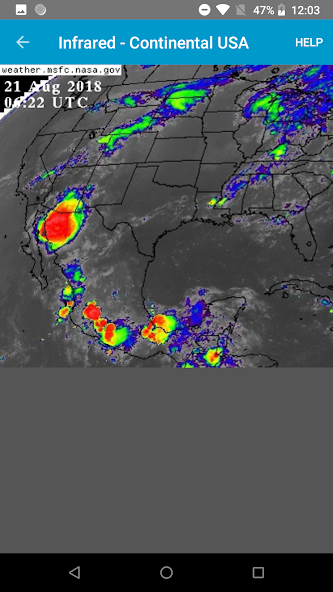
East- CONUS
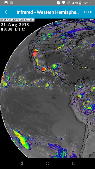
East - North Hemisphere
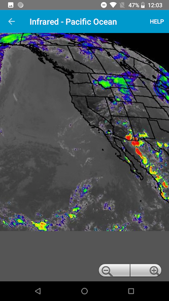
West - Pacific Ocean
East - CONUS Band 7
East - Full Disk Band 7
West - PACUS Band 7
West - Full Disk Band 7
Visible:
East- CONUS
East - North Hemisphere
West - Pacific Ocean
Water Vapor:
East- CONUS
East - North Hemisphere
West - Pacific Ocean
Get free Primogems, Mora, Experience, and more with these November 2024 Genshin Impact codes, 5.1 livestream codes, and find out how to redeem active codes.
If you are bored with playing the vanilla version of Metaphor ReFantazio, you can check out these five mods.
Struggling with your submissions for Roblox's The Haunt event in 2024? Check out our guide on using Dress to Impress to create your captures!
Our walkthrough for Dragon Age: The Veilguard with some handy tips and tricks, with guides for puzzles, bosses, companions, equipment, romance, and more!
Which faction should you pick in Dragon Age: The Veilguard?
Looking for some bonus resources in Sea of Conquest: Pirate War? We’ve got you covered with these codes for the latest seafaring freebies.